Community Corner
Video: Nor'easter Begins to Hit Ocean City
High wind and coastal flood advisories will be in effect through Thursday morning.


In the early stages of nor'easter that is expected to flood Ocean City streets, the wind appears to be the biggest factor.
The National Weather Service has issued high wind and coastal flood advisories for a storm that is expected to intensify throughout the day (Wednesday, March 6) and reach a peak with moderate flooding during the high tide at 4:05 a.m. Thursday. Read "Nor'easter Bears Down on Ocean City" for details on the forecast.
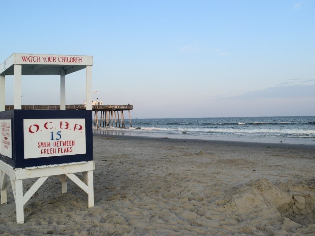
On Wednesday morning, road signs on the Route 52 causeway leading to Ninth Street in Ocean City were knocked flat by the wind. Trash cans and recycling barrels were blowing in the streets. And near the beach, the wind was carrying more sand than rain.
Find out what's happening in Ocean Citywith free, real-time updates from Patch.
Sustained northeast winds of 33 mph with gusts up to 49 mph have already been recorded in the region by the National Weather Service on Wednesday. Local readings are not yet available, but walking upright on the beach or boardwalk on Wednesday is difficult without leaning into the wind. Rain and street flooding were not yet a problem as of noon Wednesday.
The beaches at the north and south ends of the island — where Superstorm Sandy wiped out dune systems — appeared to be holding back the ocean during Wednesday morning's low and mid tides.
Find out what's happening in Ocean Citywith free, real-time updates from Patch.
The chance for flooding and beach erosion will increase with high tides at 3:29 p.m. Wednesday and 4:05 a.m. Thursday.
Army Corps of Engineers contractors left equipment high and dry on the beach at the north end, where they had already completed replenishment work at some of the island's most severely eroded beaches.
The City of Ocean City released the following "Special Weather Statement" at noon on Wednesday:
The National Weather Service has issued a Coastal Flood Warning and High Wind Warning for our area in effect now through Thursday March 7. Residents, visitors and business owners should start making final preparations for the effects of this storm, as conditions will deteriorate throughout the day.
Minor to moderate coastal flooding will occur during the high tide cycles on Wednesday afternoon at 3:30 p.m. Widespread moderate flooding will occur again early Thursday morning at 4:05 a.m. Some areas may experience major coastal flooding at that time.
Flooding is likely prior to the time of high tide and may last for several hours after high tide. Vehicles should be moved from areas that typically experience tidal flooding well in advance of the time of high tide. No one is allowed on beach areas.
Residents should remove or secure loose objects on porches and around properties in anticipation of high winds. Power outages are possible. In the event you lose power, please call Atlantic City Electric at 1-800-833-7476 or report via power outage map at:http://www.atlanticcityelectric.com/home/emergency/maps/stormcenter/.
Contractors need to properly secure all work sites and remove all loose debris and materials that may become a problem in the event of high winds or flooding.
Residents, visitors and property owners are advised to closely monitor weather conditions and forecasts for the next 24 hours.
Please check www.ocnj.us and Ocean City’s Government Access Channel 2 for further updates.
Check back with this story on Ocean City Patch for images and updates after the 3:30 p.m. high tide.
_________
Get Ocean City headlines and updates in your Facebook news feed: "Like" Ocean City Patch
Subscribe to our free morning newsletter: Ocean City Patch newsletter
Get more local news delivered straight to your inbox. Sign up for free Patch newsletters and alerts.